01
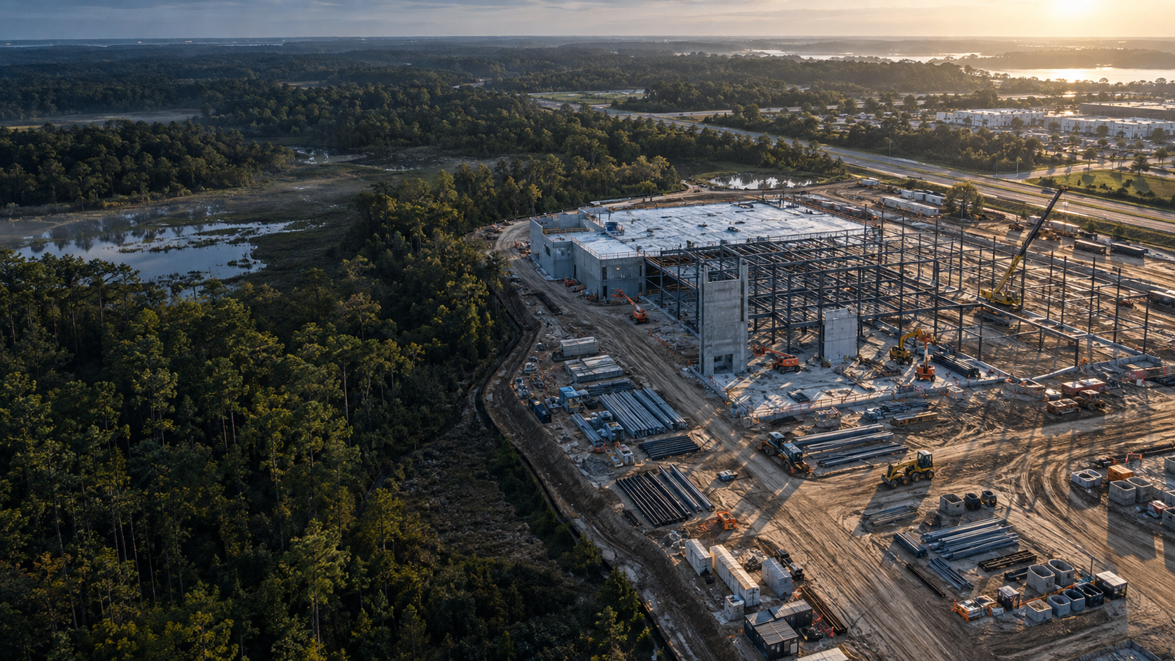
Construction progress documentation
Repeatable aerial and ground-level imagery that helps teams review visible progress, milestones, staging, and site conditions.
FAA Part 107 remote pilot · Carrollton, Georgia
Aerial documentation, mapping support, and organized visual reporting for construction and property professionals across Georgia and the Southeast.
Illustrative project imagery
CAPABILITIES
Every capture plan begins with the decisions your team needs to make and the record you need to keep.
Repeatable aerial and ground-level imagery that helps teams review visible progress, milestones, staging, and site conditions.
Organized exterior imagery and condition documentation for property managers, field-service companies, and insurance professionals.
Site overviews, orthomosaic-ready capture, and visual mapping products for planning, communication, and project records.
Structured image collection for 2D and 3D site visualization, progress comparison, and more informed remote review.
WHAT YOU RECEIVE
Files arrive organized and ready to review, forward, archive, or include in your project records. Scope and delivery format are agreed before capture.
Area 01 · Site accessCondition documented
Area 02 · Active workProgress milestone
Area 03 · MaterialsStaging overview
Demonstration of report organization; not a client project.
HOW IT WORKS
Confirm the site, access, priorities, flight feasibility, deliverables, and schedule.
Collect planned aerial and site imagery safely and consistently under Part 107.
Organize, quality-check, and deliver files and reporting in the agreed format.
BUILT FOR FIELD DECISIONS
START A CONVERSATION
Send the project location, desired deliverables, and target date. We’ll reply with practical next steps and a clear scope.